Petawawa is known as a military town, and it is. CFB Petawawa has dominated the local economy since 1905. But the area's history starts long before the military, and the landscape holds more points of interest than the base alone. The Petawawa area sits at the confluence of the Petawawa River and the Ottawa River, a location that has made it significant for the Anishinaabe people for thousands of years, for the lumber industry since the mid-1800s, and for the Canadian military for the past 120 years. Each era left marks on the landscape, and much of that history is still visible.
Before the Base
The Petawawa River was a major log-driving river, carrying timber from the interior forests to the mills downstream on the Ottawa. Dams, slides, and boom structures were built along its length to control the spring drive. Several small farming communities existed on the sandy plains above the Ottawa River before the military acquired the land. When the Department of Militia and Defence arrived in 1905, these communities were displaced. The hidden history of Petawawa covers this displacement and the earlier Anishinaabe use of the river corridor in detail.
Traces of the pre-military settlements are faint but present: old fence lines, fruit trees growing where no one planted them, cellar depressions on the fringes of the base. The lumber infrastructure is more durable. Dam remnants and boom anchor points survive on the Petawawa River and its tributaries. Mill ruins exist along several local waterways.
Military Layers
The military history spans every major Canadian conflict since the base was established. WWI training and internment of Ukrainian Canadians. WWII expansion, prisoner of war camps for German and Italian soldiers, and the forced internment of Japanese-Canadian civilians. Cold War parachute training with the Canadian Airborne Regiment. The Somalia affair and the regiment's disbandment. Afghanistan deployments that cost the community dearly.
The physical infrastructure of the base has been continuously rebuilt and expanded. Each era produced buildings, ranges, and training facilities, much of which was eventually superseded. Foundations and traces of earlier construction surface occasionally during new development. The training area itself, roughly 340 square kilometres, contains practice ranges, obstacle courses, and tank trails from every era, along with unexploded ordnance that makes unauthorized entry extremely dangerous.
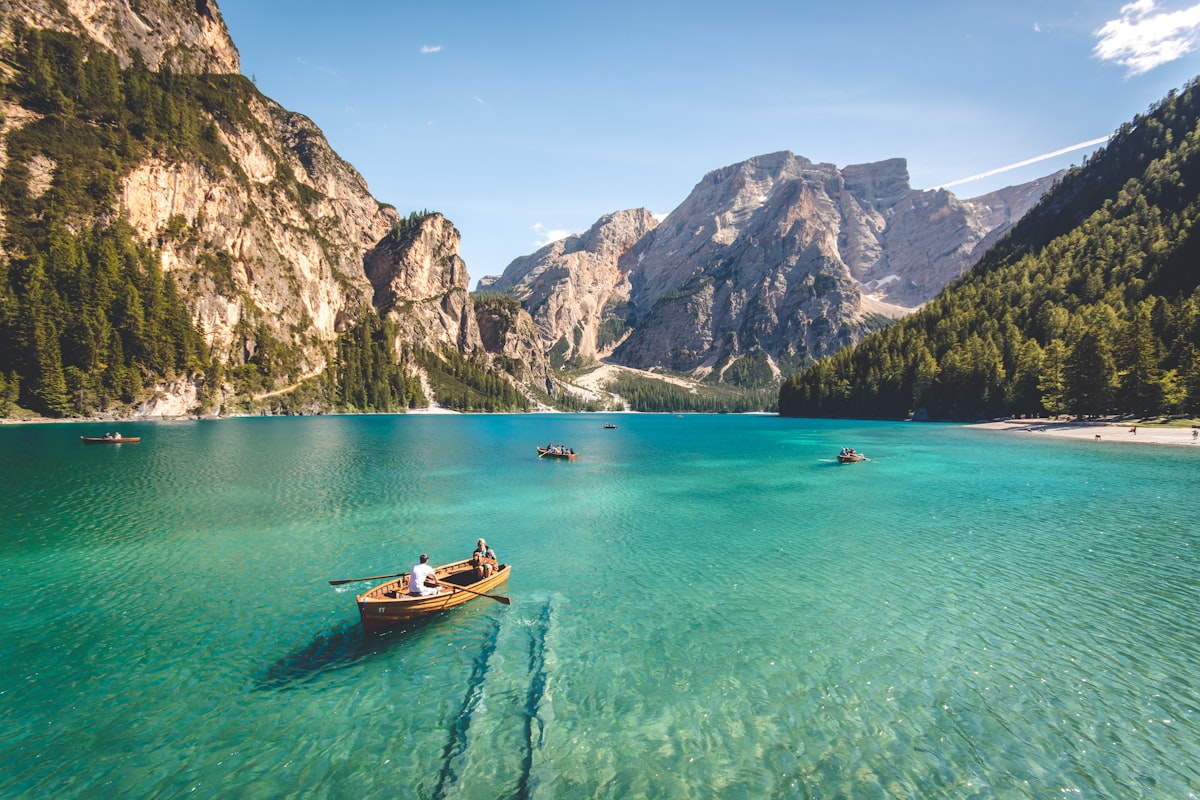 The Petawawa River has been a transportation route and a source of livelihood for centuries.
The Petawawa River
The Petawawa River is one of Ontario's most scenic waterways. It drains from Algonquin Park through a series of rapids, waterfalls, and calm stretches before reaching the Ottawa River. The upper sections, within or near Algonquin Park, are popular with canoeists and kayakers. The lower sections, closer to town, are less-visited but have their own character, including access to lumber-era infrastructure and views of terrain that has not changed much since the timber drives ended.
The Petawawa Research Forest, established in 1918 by the Canadian Forest Service, occupies land adjacent to the base. It is one of the oldest research forests in Canada, with experimental plots spanning over a century of silvicultural research. Parts are accessible to the public and offer a unique look at how different forest management approaches play out over time. The jack pine stands and the research plantations are unlike anything you will see in a typical Ontario forest.
Exploring the Area
The best exploration around Petawawa combines history and landscape. The old bridges that cross the Petawawa River and its tributaries offer both historical interest and scenic value. The back roads south and west of town, toward Eganville and the Madawaska Highlands, pass through terrain that was once intensively logged and has some of the best-preserved steel truss bridges in the Ottawa Valley.
For military history, the Petawawa Heritage Village and the base museum are the public entry points. Several monuments and memorial sites in and around the base mark significant events. The Highway of Heroes memorial sites in the broader region commemorate the soldiers lost in Afghanistan.
County roads leading south toward the Madawaska Highlands and west toward Algonquin Park pass through landscape that has changed little since the lumber era. Unusual roadside stops — military monuments, colonization road markers, folk art installations — appear along these routes. Drive slowly. Stop often. The area rewards the kind of attention that most people do not give to a military town.