The Near North is the transition zone between southern Ontario's populated corridor and the vast, sparsely settled boreal north. Roughly encompassing North Bay to Sudbury and south to the Almaguin Highlands, this is where the Canadian Shield dominates the landscape and where Ontario's mining and forestry heritage is most visible. It is also where some of the province's most dramatic ghost towns and industrial ruins are found.
The Cobalt Silver Rush
The Cobalt silver rush of 1903 was one of the most intense mining booms in Canadian history. The discovery happened during construction of the Temiskaming and Northern Ontario Railway, when blacksmith Fred LaRose reportedly found native silver near the rail line. Within months, prospectors flooded the area. At its peak, the Cobalt camp produced more silver than any other district in the world. The rush created a constellation of settlements: Cobalt itself, Silver Centre, Kerr Lake, Giroux Lake, Haileybury, and dozens of smaller camps scattered through the bush.
Most of these settlements lasted less than twenty years. The richest veins played out, silver prices fluctuated, and the camps emptied. Cobalt survives as a small community, and the Mining Museum of Cobalt provides excellent context for exploring the area. The surrounding bush is full of industrial remnants: headframes, processing plant ruins, mine shafts (some open and extremely dangerous), tailing ponds, and the foundations of worker housing. The concentration of ruins in a relatively small area makes Cobalt the best single destination in Ontario for mining heritage.
The Sudbury Basin
The Sudbury Basin is one of the world's great mining districts, producing nickel, copper, platinum, and other metals since the 1880s. The basin was created by a meteorite impact roughly 1.85 billion years ago, and the impact structure concentrated mineral deposits along its rim in a pattern that has been mined ever since.
The mining industry created company towns around the basin: Creighton Mine, Copper Cliff, Coniston, Falconbridge, Levack. Some have thrived. Others were reduced or abandoned as mining operations consolidated and modernized. Company houses, mine buildings, and community facilities from the heyday of these operations are scattered across the landscape around Sudbury.
Sudbury itself was once famous for its devastated, moon-like landscape. The combination of mining activity, smelter emissions, and forest fires stripped the area of vegetation. Since the 1970s, a massive re-greening program has replanted millions of trees and restored much of the landscape. The contrast between the recovering landscape and the remaining mine infrastructure is one of the region's most distinctive features.
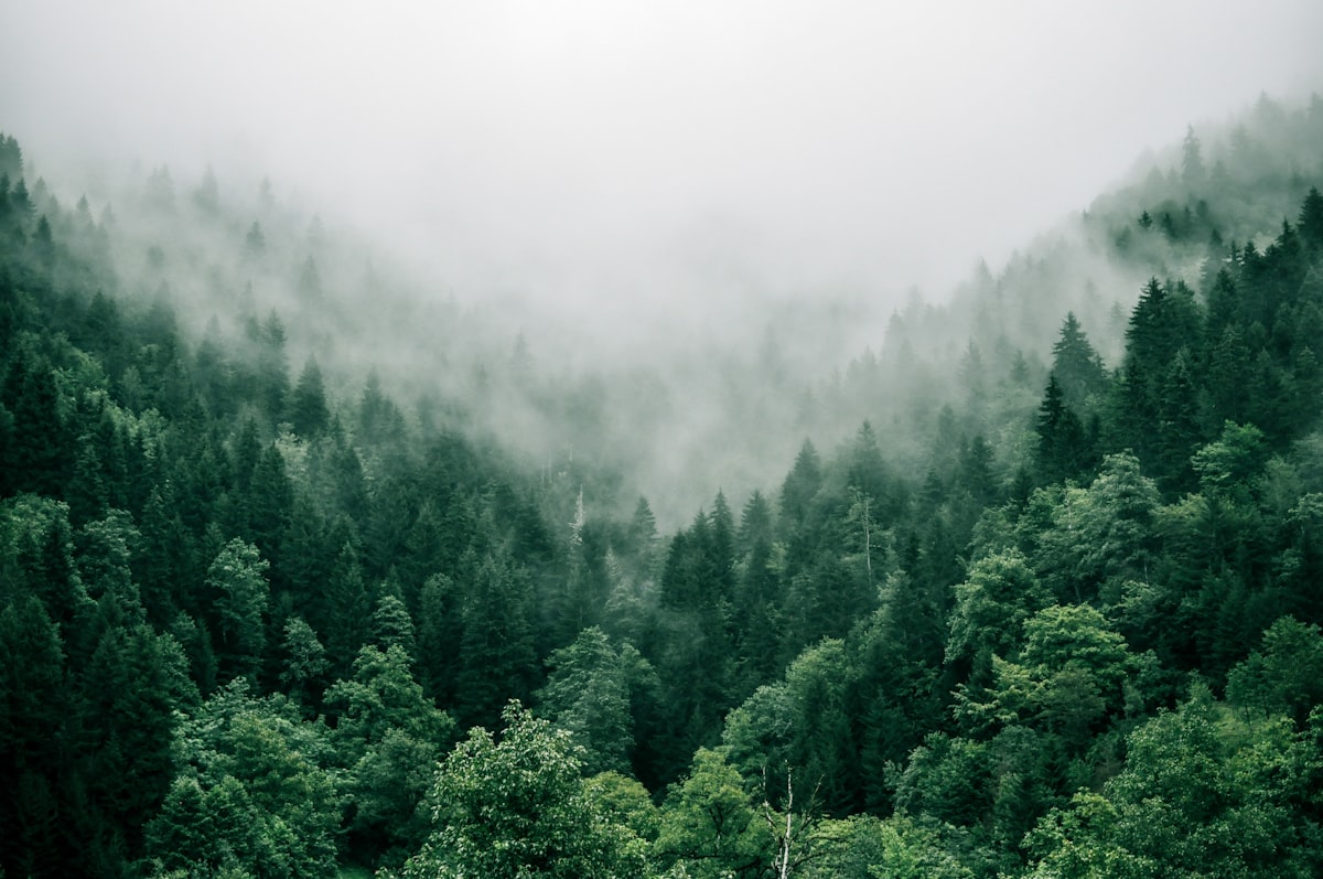 The Near North's boreal landscape hides the remnants of a century of mining and forestry.
Rail Heritage
The Near North was crisscrossed by railways that served the mining and forestry industries. The T&NO (now Ontario Northland) was the backbone, but numerous branch lines connected individual mines and mills to the main line. Many of these branches have been abandoned, and their rights-of-way are some of the best corridors for exploring the region's history.
The rail history of Ontario is particularly visible here. Rock cuts, bridge abutments, and former station sites mark routes that once connected every mine and mill to the outside world. Walking abandoned rail corridors in the Near North gives you access to terrain that is otherwise extremely difficult to reach and provides a perspective on how thoroughly the region was industrialized in the early twentieth century.
Boreal Wilderness
Despite a century of mining and logging, the Near North retains vast areas of wild land. Crown land is extensive, and the boreal forest stretches north in an unbroken expanse. Even within the more developed southern portions, large blocks of public land provide opportunities for wilderness exploration far from any road.
The combination of wild landscape and industrial history creates something unique. You can paddle a pristine lake in the morning and explore an abandoned mine site in the afternoon. Remote lakes accessible only by portage, waterfalls on rivers that appear in no guidebook, and exposed geological formations are all common. The hidden nature spots article covers this further.
The Georgian Bay coastline borders the Near North to the southwest, and the two regions share landscape character and industrial history. Depot Harbour, on Georgian Bay, was the terminus of a rail line that passed through the Near North's forests.