The Ottawa Valley is the single best region in Ontario for exploration of abandoned places and hidden history. No other part of the province combines such a long settlement history, such dramatic cycles of boom and bust, and such a dense concentration of ruins, ghost settlements, and forgotten infrastructure. The valley runs northwest from Ottawa along the Ottawa River, bounded on the south by the Algonquin Highlands and on the north by the river itself. It includes Renfrew County, parts of Lanark County, and extends into the Madawaska and Bonnechere watersheds.
The Lumber Era
The Ottawa Valley was the centre of Canada's timber trade from the 1830s through the early 1900s. At its peak, the valley's lumber operations employed tens of thousands and shipped timber to markets around the world via the Ottawa River to Quebec City. The industry was dominated by timber barons whose names are still prominent: J.R. Booth (the largest, who also built the OA&PS Railway to Georgian Bay), Bronson, Perley, McLachlin, Gillies.
These men built enormous mills along the Ottawa and its tributaries. The McLachlin Brothers mill at Arnprior stretched nearly 200 metres along the Madawaska River. The Gillies Brothers operated at Braeside. Booth's operations at Chaudiere Falls in Ottawa were the largest in the world. When the old-growth pine was exhausted in the early 1900s, the industry contracted. Mills closed. Thousands of workers left. Many of the smaller communities that depended on the lumber trade simply disappeared.
The stone and concrete foundations of these mills are among the most impressive abandoned structures in Ontario. They were built to withstand the vibration of gang saws and the force of spring floods, and they have lasted far longer than the wooden buildings that sat on them.
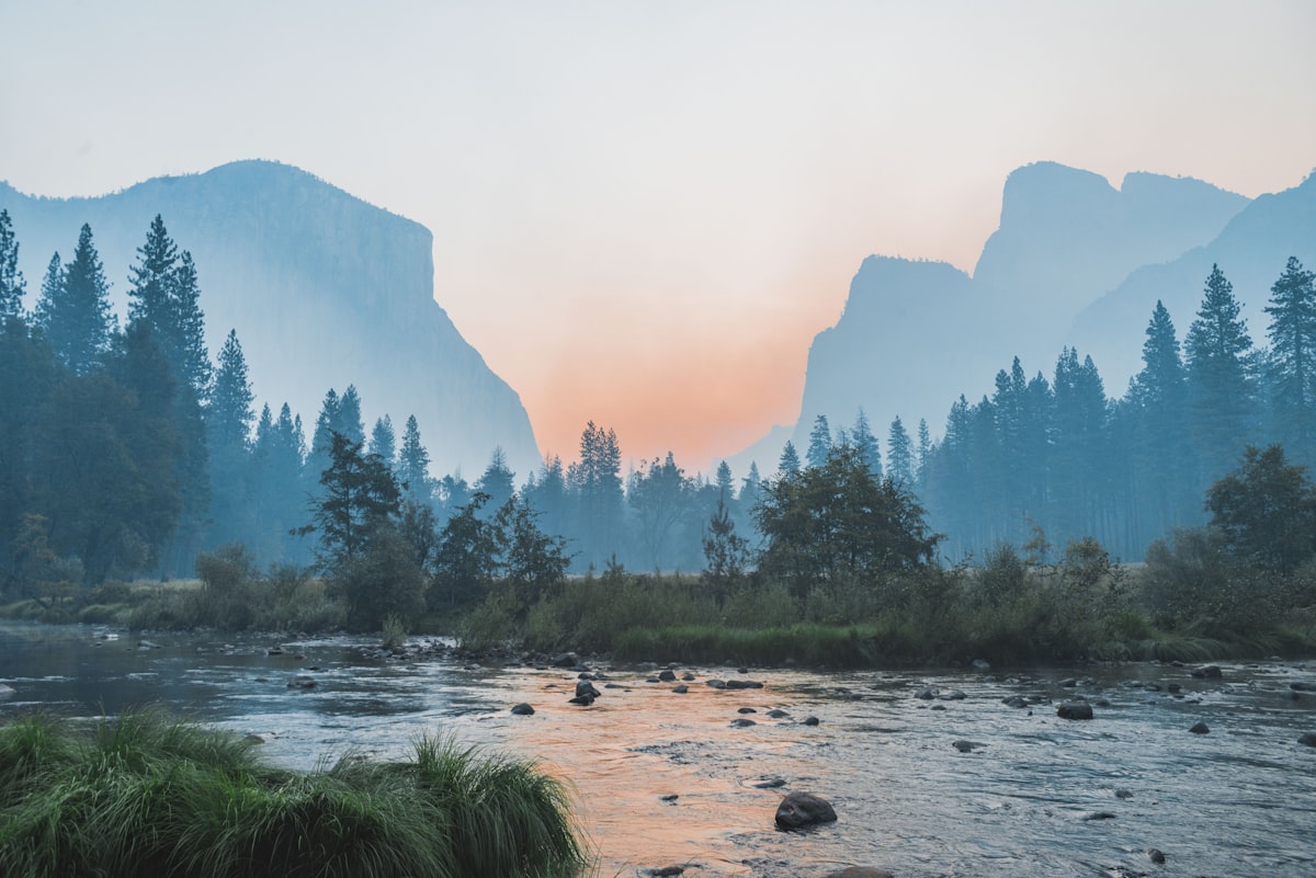 The Ottawa Valley's mix of river lowlands and Shield uplands created a landscape rich in both natural beauty and industrial history.
What to Explore
Mill ruins: The Madawaska, Bonnechere, and Petawawa rivers all have significant mill sites. At Arnprior, the McLachlin foundations are visible from the riverside park. At Burnstown, a stone mill ruin stands beside a waterfall. At Renfrew, mill foundations line the Bonnechere through town. Remote tributaries have ruins that see few visitors. The forgotten lumber mills article covers specific sites.
Ghost settlements: The Opeongo Road (County Road 512) created dozens of communities in the 1850s that are now gone or reduced to a church and a cemetery. Brudenell, Rockingham, Clontarf, Mount St. Patrick. Foymount, the Cold War radar station ghost town, is accessible from the same road. The forgotten places guide covers the most interesting sites.
Historic bridges: The valley has a remarkable collection of old bridges, from century-old steel trusses on county roads to abandoned rail bridge abutments in the forest.
Military history: The Petawawa area has been a military centre since 1905. CFB Petawawa's history includes WWI internment of Ukrainian Canadians, WWII prisoner of war camps, Cold War parachute training, and modern combat deployments. The hidden history underneath the military narrative adds layers that most visitors do not know about.
Roadside discoveries: Unusual roadside stops dot the valley's county roads: colonization road cairns, military monuments, abandoned motels on bypassed Highway 17 alignments, folk art installations on back roads between Eganville and Barry's Bay.
Getting Around
Highway 17, the Trans-Canada, runs along the Ottawa River through the heart of the valley. County roads branch south into the highlands. The most interesting sites are on gravel roads or require short walks from the nearest road. The valley's towns — Arnprior, Renfrew, Pembroke, Petawawa — are all good bases. Each has local museums: the Champlain Trail Museum in Pembroke and the Arnprior and District Museum are particularly useful.
For paddlers, the Madawaska, Bonnechere, and Petawawa rivers offer canoe and kayak routes that pass through some of the valley's most remote and historically interesting terrain. Several routes pass by mill ruins and former settlement sites that are not accessible by road.
The 1879 Renfrew County atlas, available at local libraries, is the single most useful document for finding forgotten places in the valley. Compare it with a modern map and the absences tell the story of what the lumber bust left behind.